-
Mapsburgh
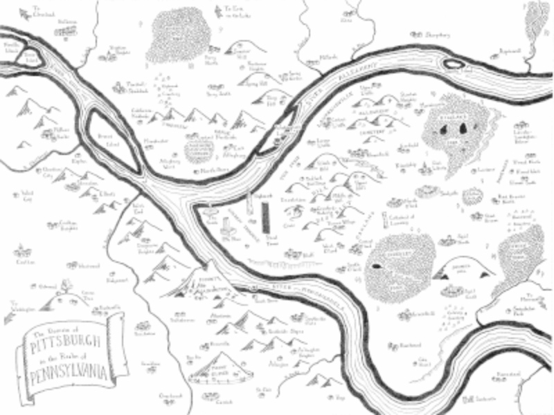
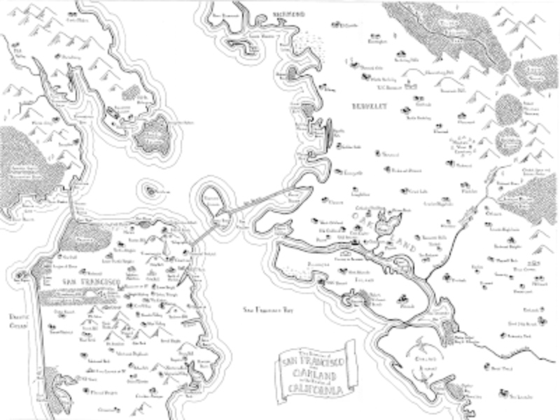
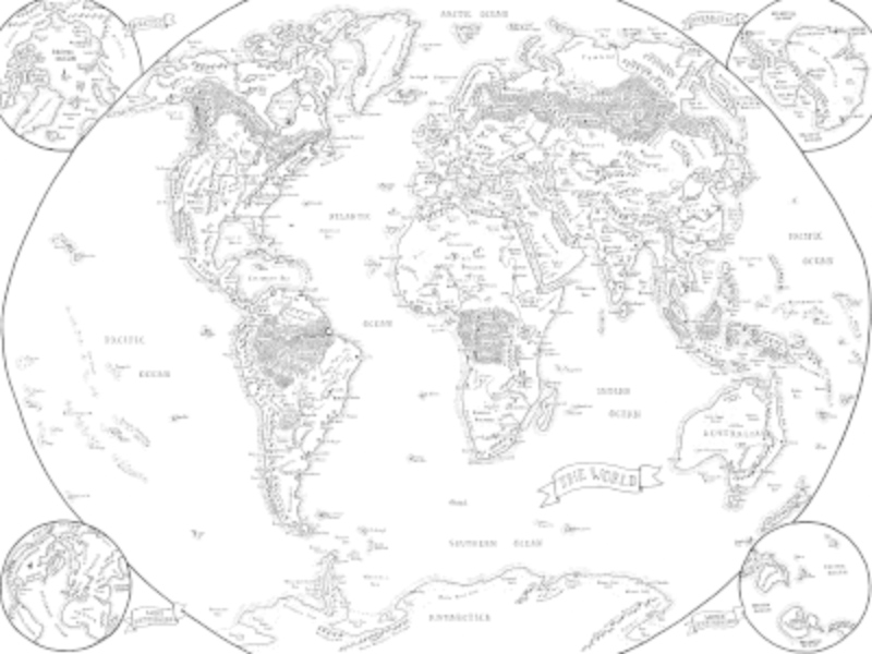
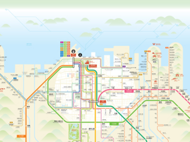
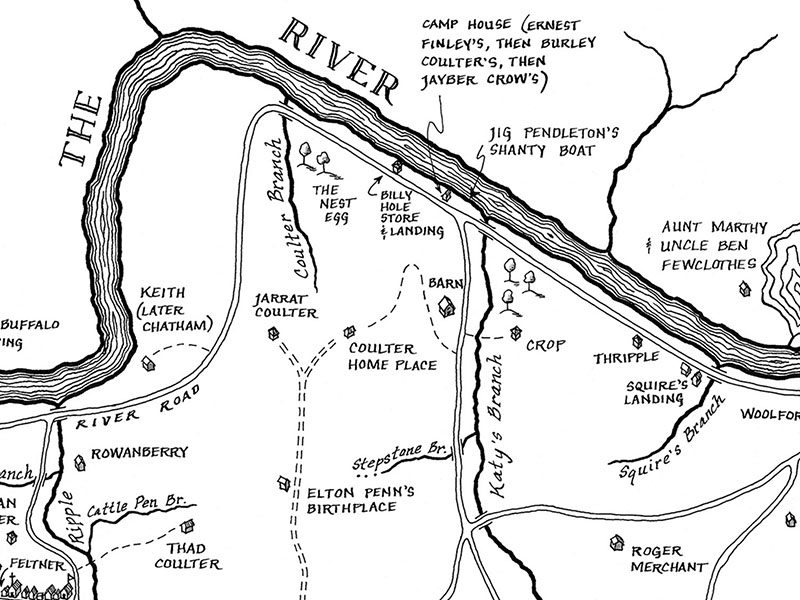
Mapsburgh specializes in fantasy style maps of real places and other artistic cartography to give you a new perspective on the places you know and love. We can also make custom maps of worlds of your own invention!
-
Ramble Maps
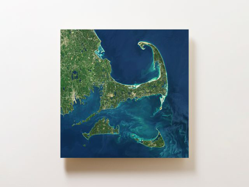
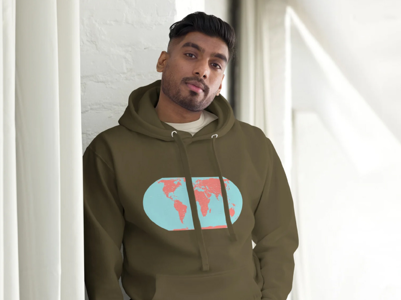
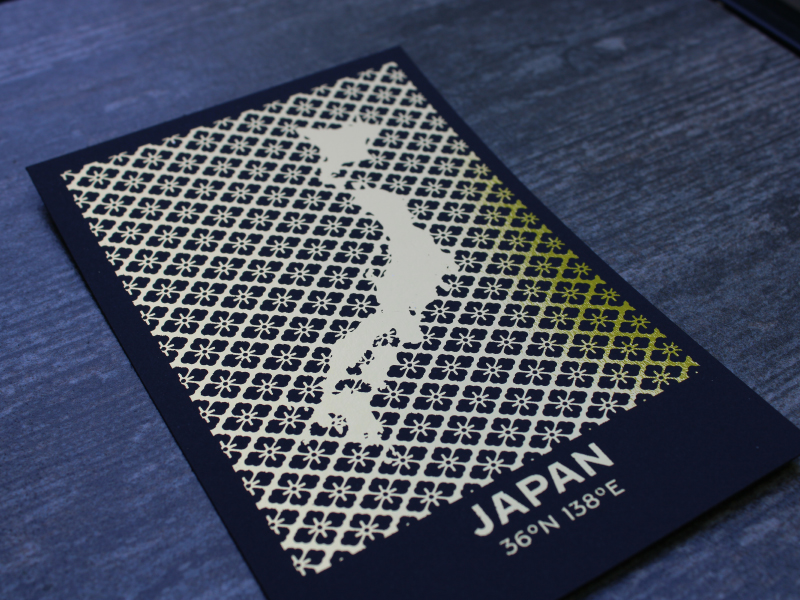
Minimalist earth art on dynamic media like aluminum and metallic photo paper.
-
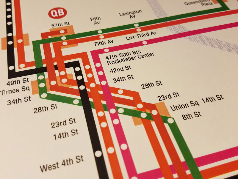
Transit Maps
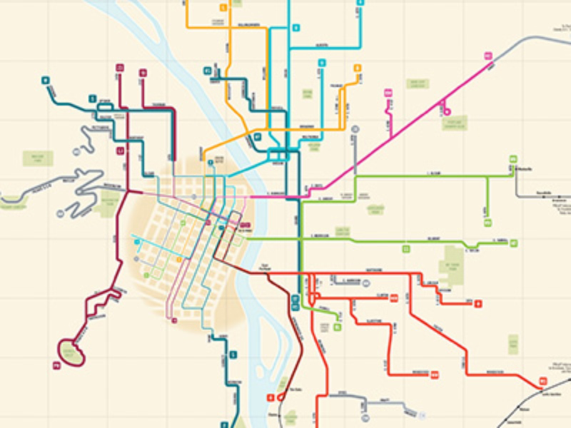
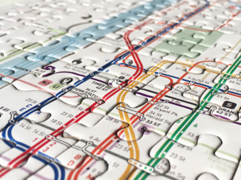
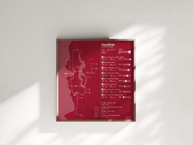
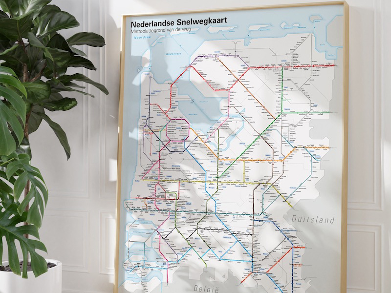
From the creator of the "Transit Maps" blog, a store to sell prints of my original transit map designs as well as a carefully curated selection of reproduction vintage transit-related maps.
-
CartDeco
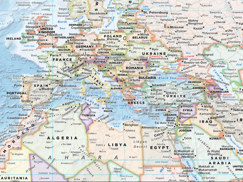
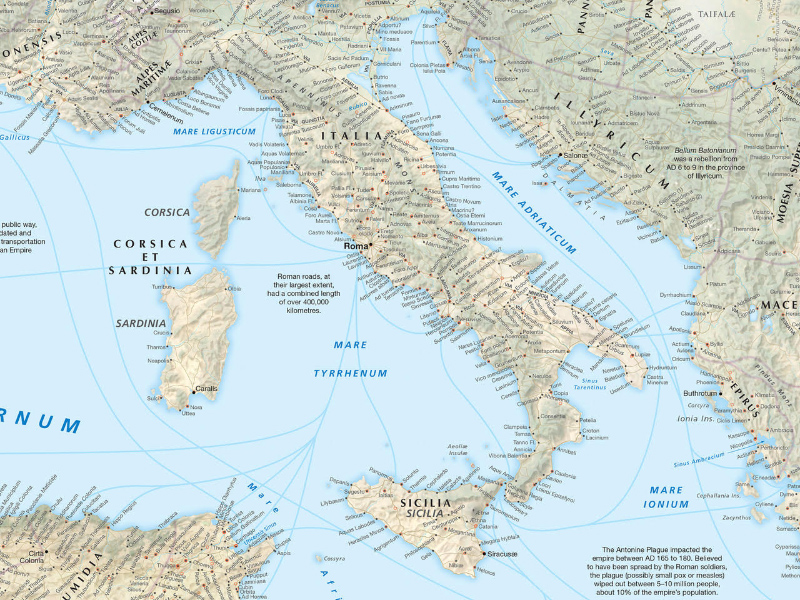
CartDeco produces large format print-on-demand maps as well as maps for digital download. Current art products include the Earth wall map and Roman Empire map.
-
mapsbyp
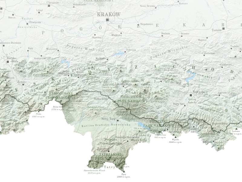
'My name is Patrycja and I''m the artist behind all the creations in this shop. I studied cartography in Warsaw and I loved the creative part of my studies. Since 2019 I am runing my small shop on etsy and really enjoying it.'
-
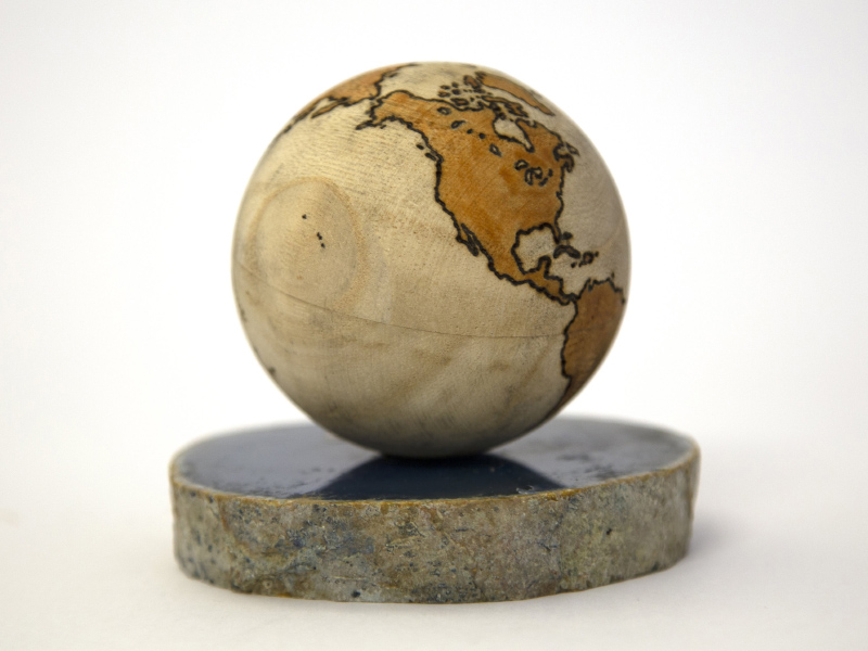
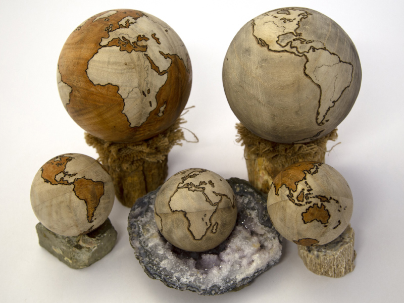
Pyro Globes
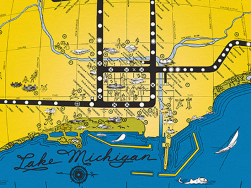
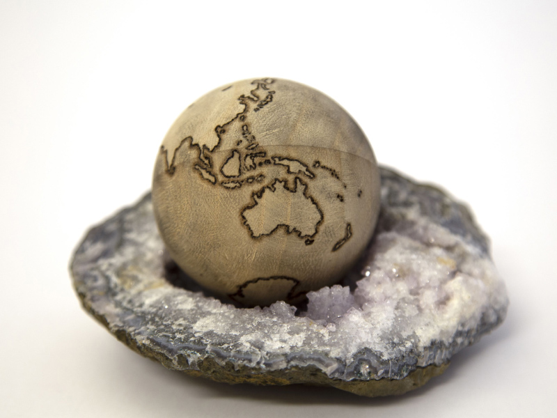
Handmade, splendid, pyrographic wooden globes. One of a kind. Contact me for pricing, customizations, and commissions.
-
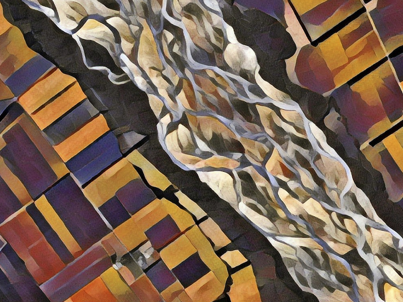
Geosprocket Planet
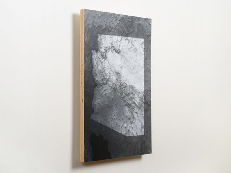
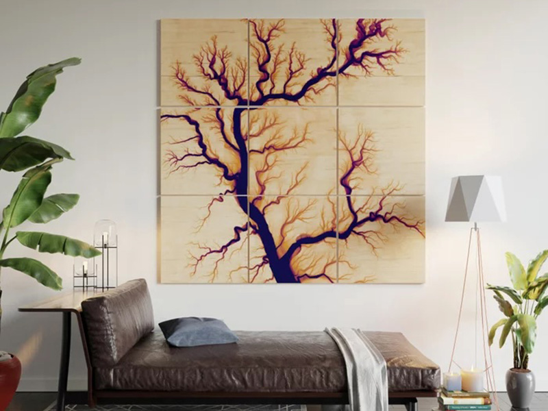
A reimagining of satellite views of Earth. Cubist landscapes, built with advanced computational tools.
-
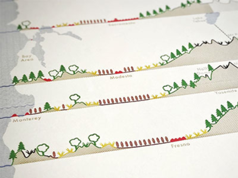
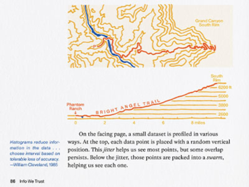
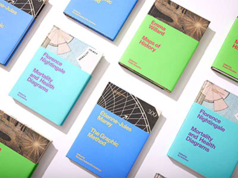
Visionary Press
Visionary Press celebrates information graphics. We publish prints and books that inform and inspire new ways of seeing and understanding.
-
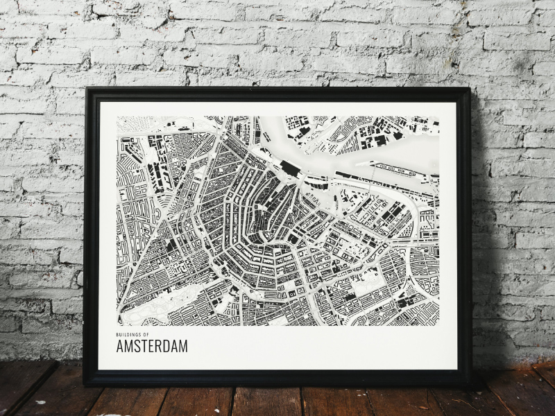
Overlaymaps
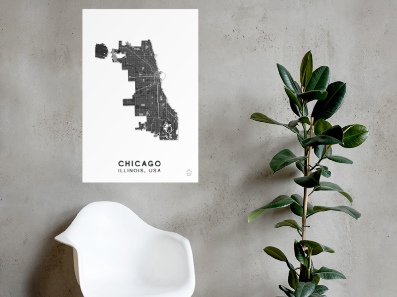
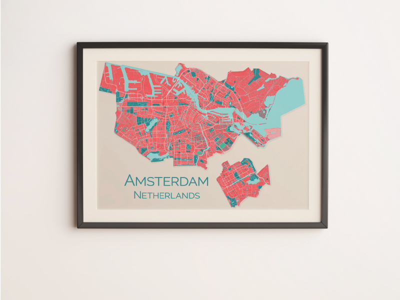
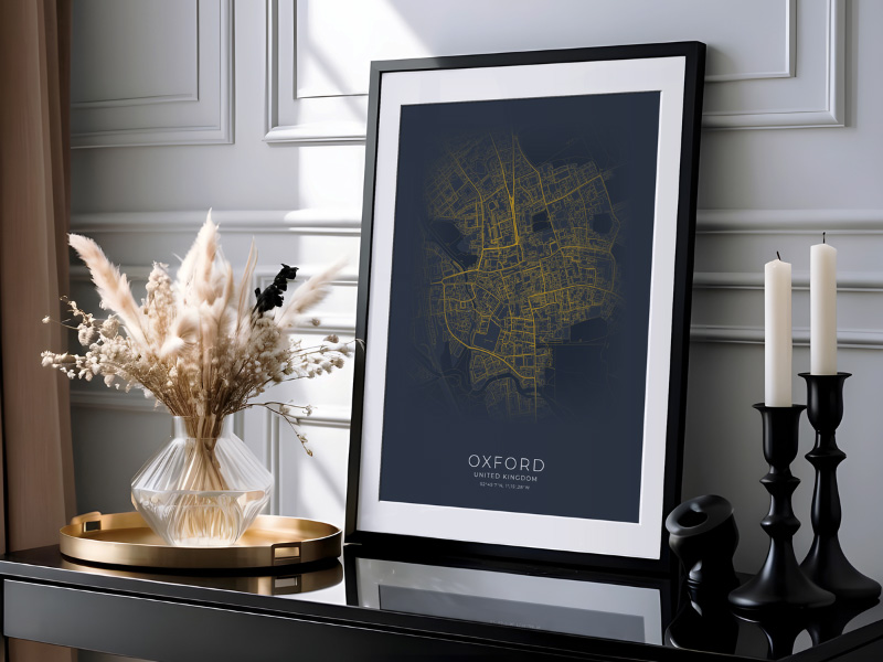
City and country map prints. Choose any city in the world and one of our styles: Coral, Minimal, Maritime, Ultimate and more! We also make other maps by commission.
-
Anton Thomas Art
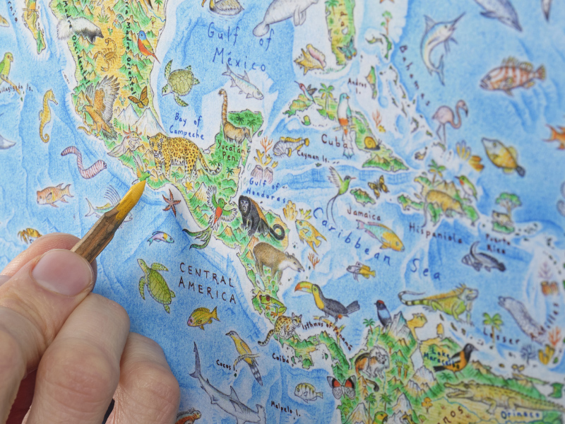
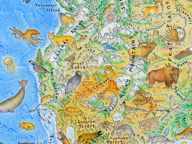
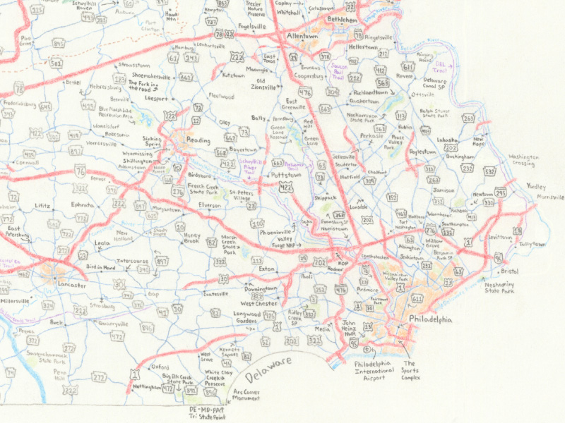
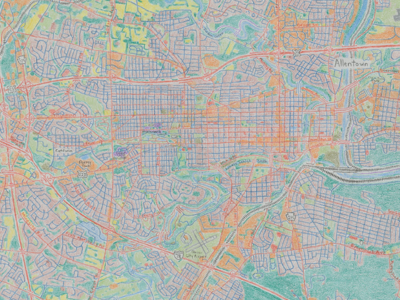
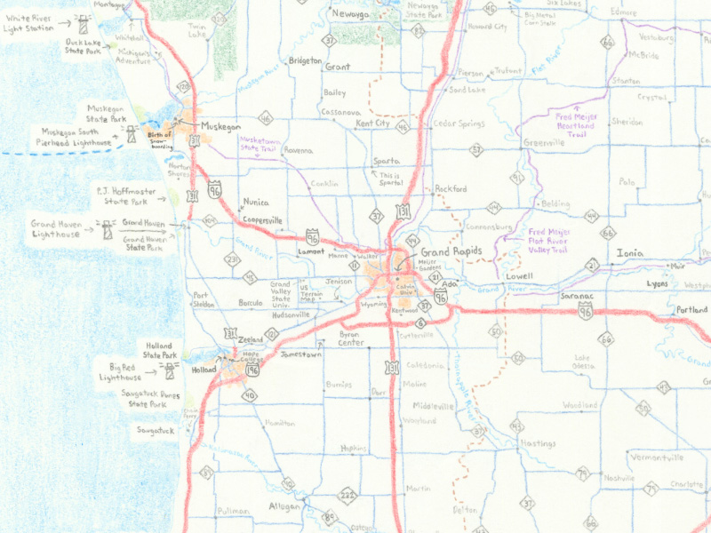
Artist/cartographer Anton Thomas has been drawing maps since childhood, and is known for vivid illustrations with mind-boggling levels of detail. His colored pencil maps, designed to educate and inspire, are tributes to the magic of geography. From Wild World (a world map of nature that took 3 years), to North America: Portrait of a Continent, all his prints are available here.
-
Maps by Philip Mallis
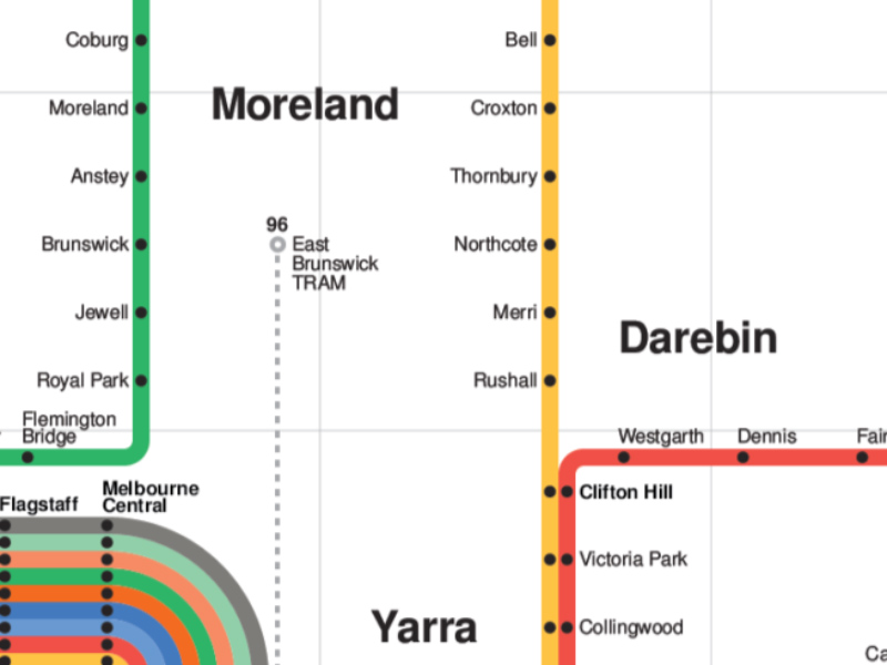
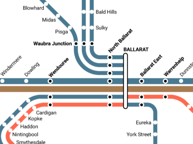
I make maps of all different types including transport routes, cities and other geospatial data. Mainly in Victoria and Australia.
-
somethingaboutmaps
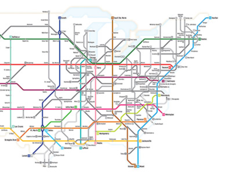
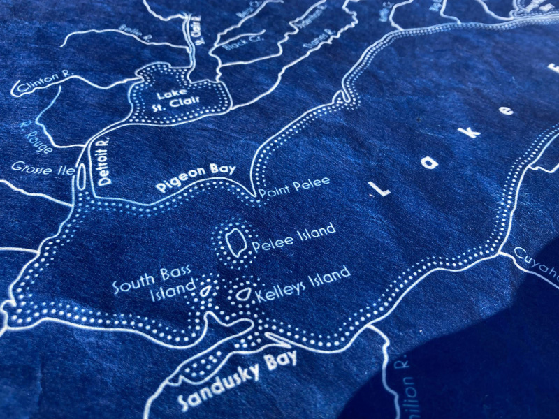
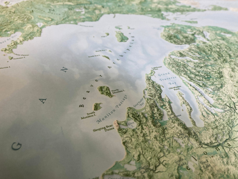
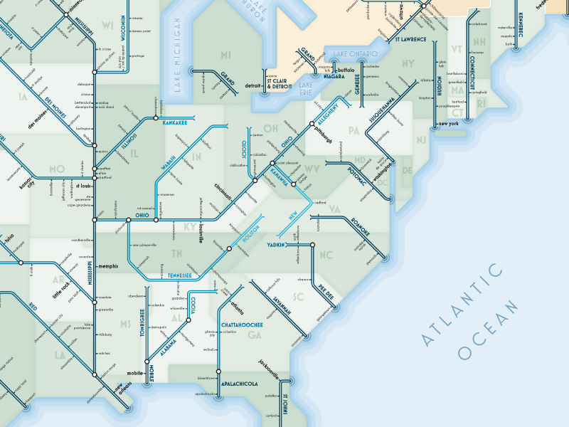
Daniel Huffman offers an eclectic variety of detailed map artworks, including handmade cyanotypes and printed posters. Many of the maps are often centered around islands, nature, and the Great Lakes — including a popular series that depicts many of the rivers of North America re-worked as subway maps.
-
Papercraft Mountains
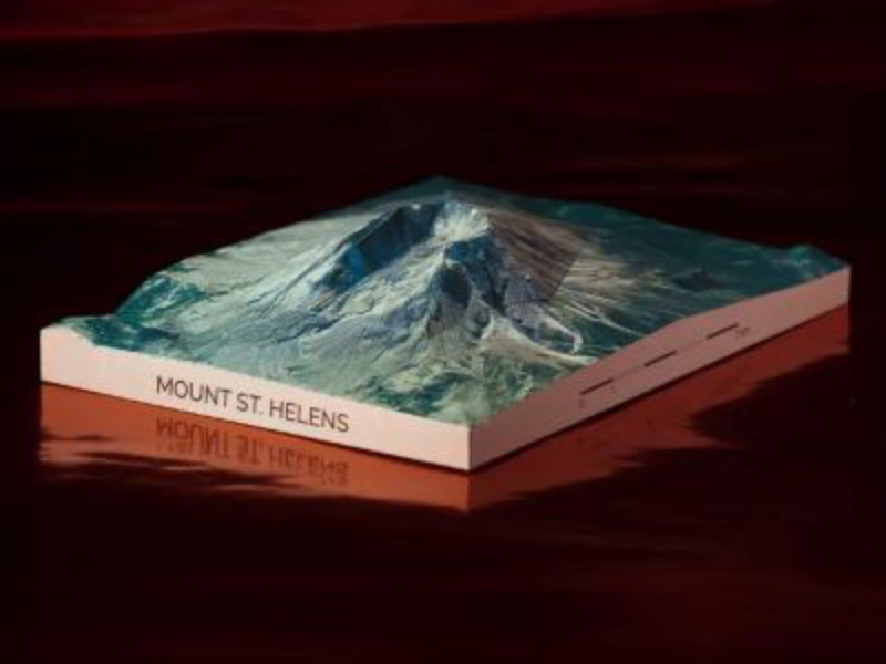
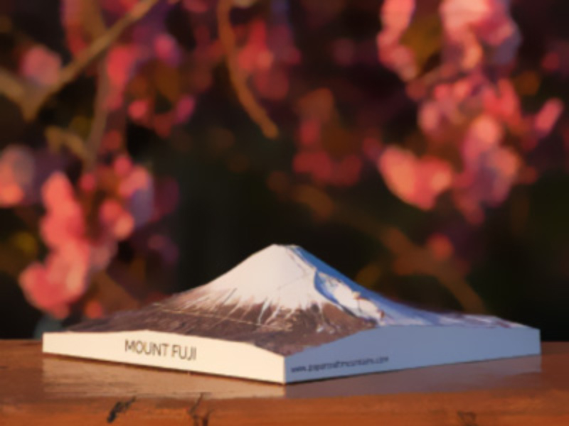
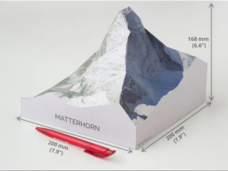
We produce kits for making 3D paper models of famous mountains. All it takes to build the models is a knife, glue, and some patience.
-
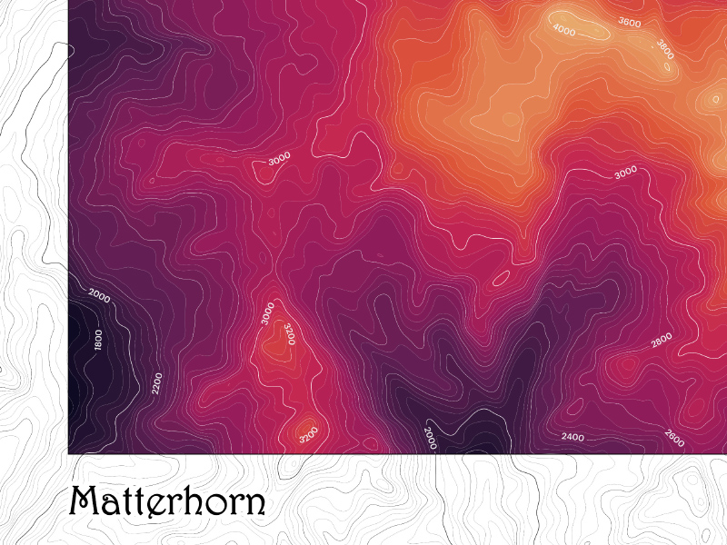
Andy Woodruff Cartography
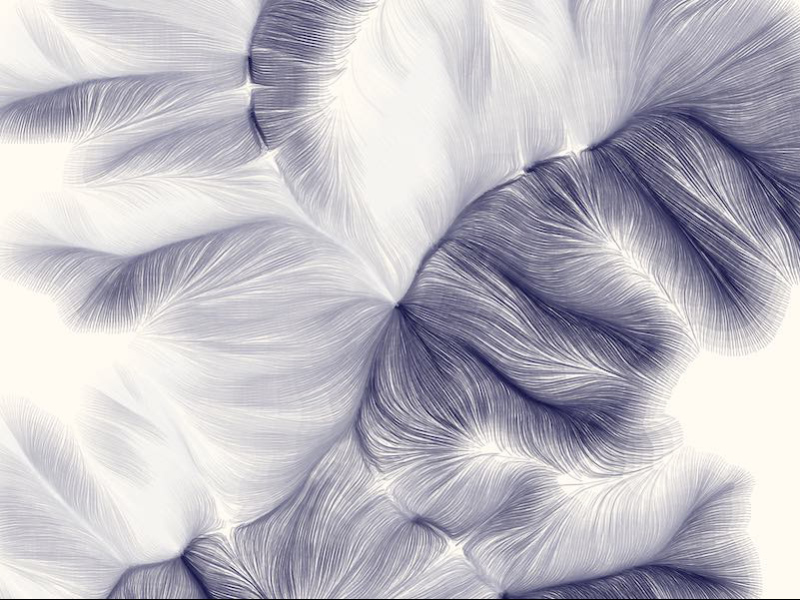
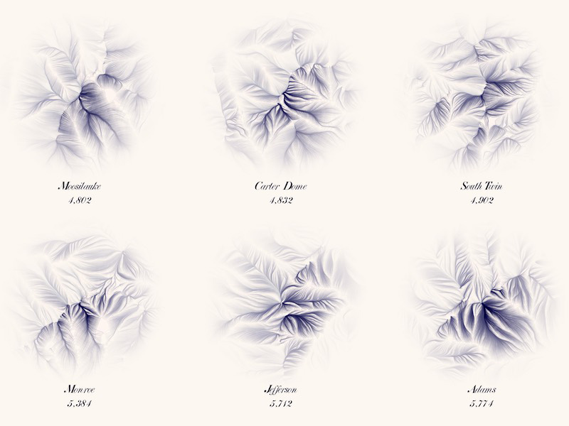
Any maps that Andy makes and thinks might be nice on your wall, but primarily ones featuring terrain in a feathery, flowing style.
-
Clark Geomatics - Hiking and Reference Maps
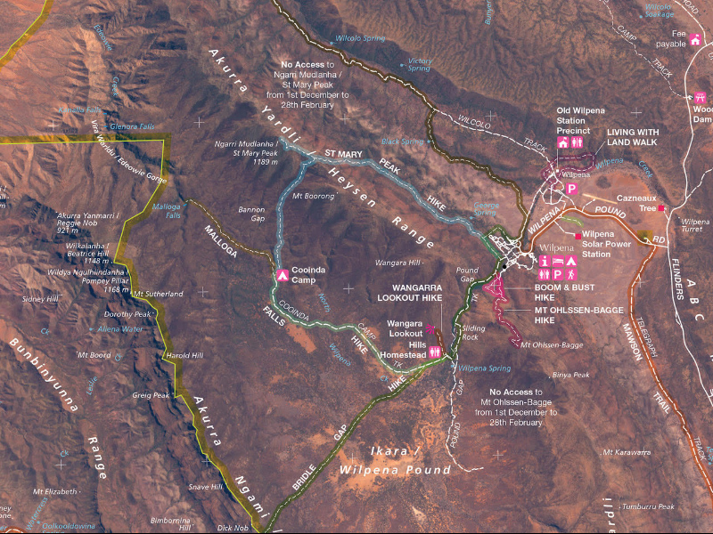
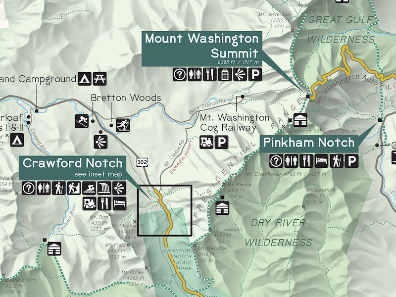
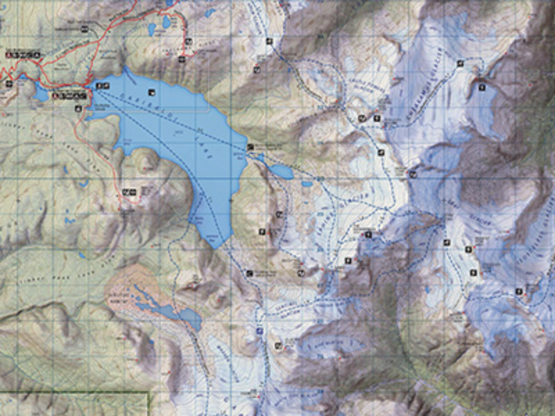
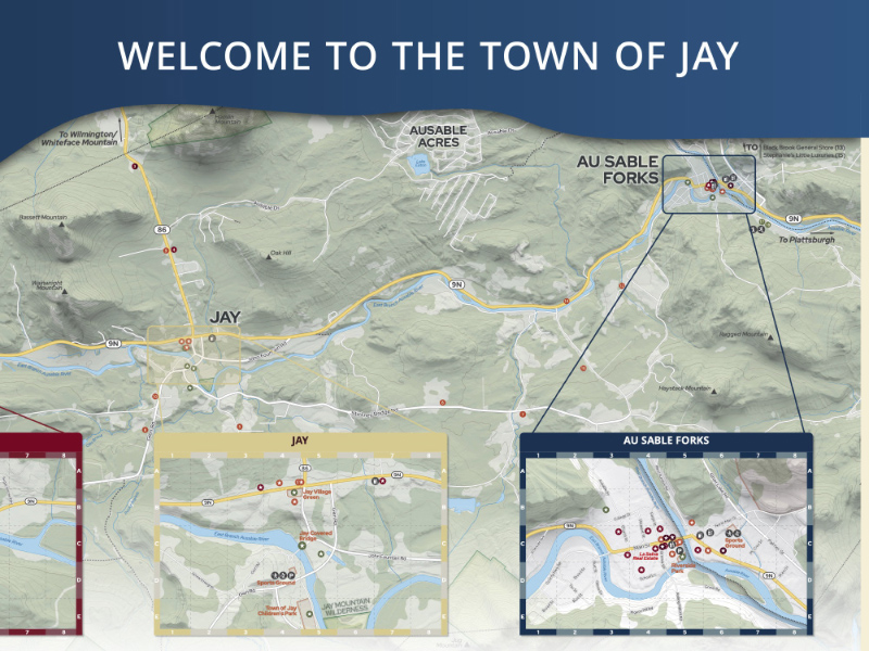
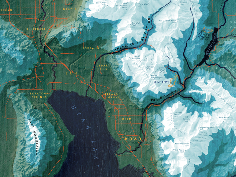
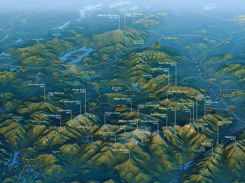
Clark Geo, established in 2001, is an award-winning map design firm that aims to design and publish geographically expressive maps to hang on your walls or take on your hikes.
-
Green Goat Maps
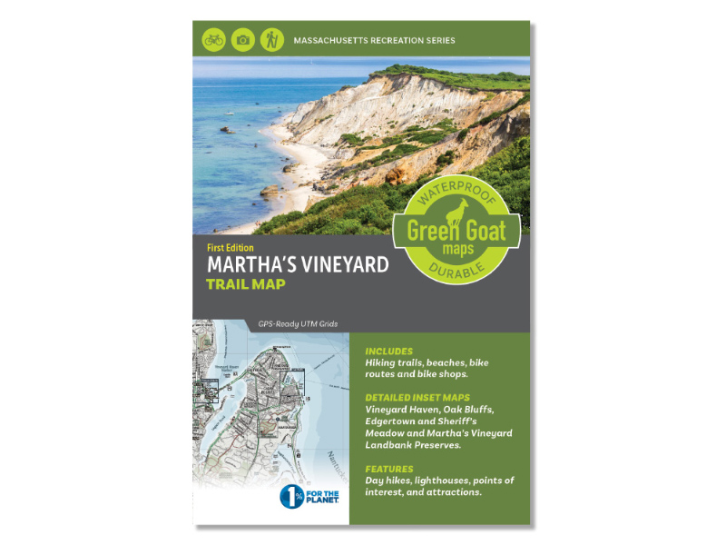
Green Goat Maps offers waterproof, foldable recreation maps and custom cartography focused on enhancing outdoor experiences. We specialize in mapping solutions for the land trust community.
-
Jo Hannah Asetre
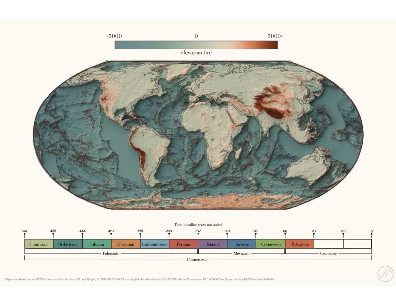
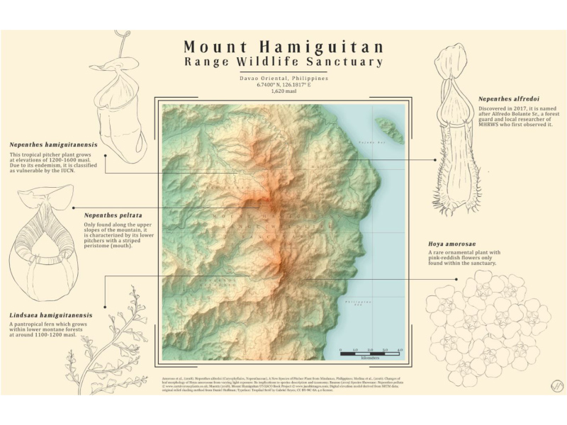
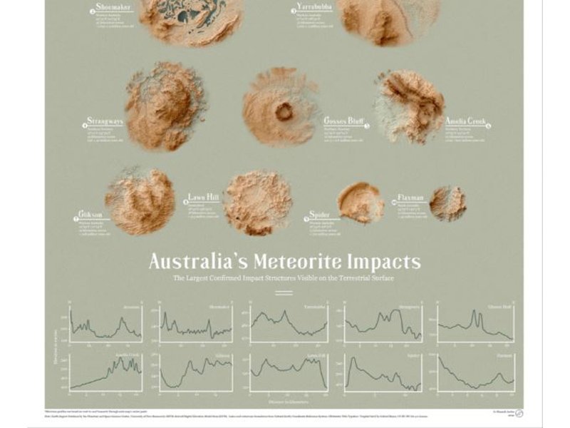
Jo Hannah Asetre is a geoscientist and visual communicator, driven by the desire to explore and understand nature and our integrated environment through the lens of art and design. She makes digitally-rendered maps, nature-related artworks, and science infographics art prints, posters, and other custom printed products.
-
Lines by Tim
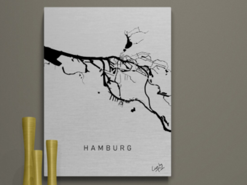
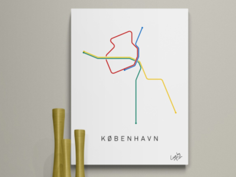
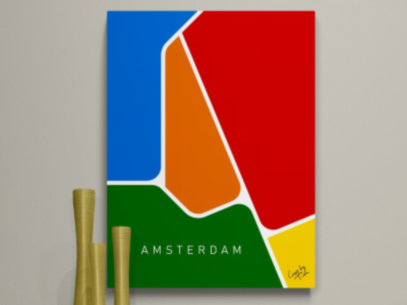
The more metro networks I studied and drew for myself, the more I became to see that they are more than networks, that they do more than map out public transport: they are an icon for the city they belong to.
-
The Map Kiwi
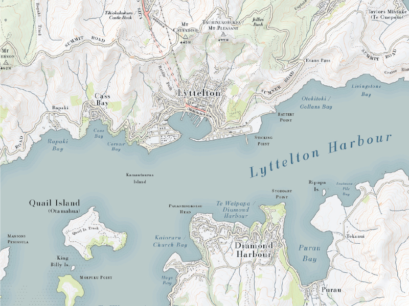
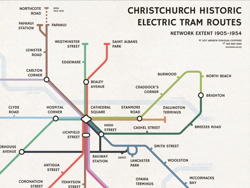
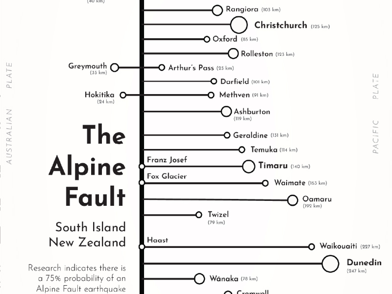
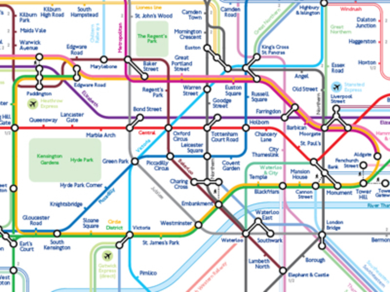
With a focus on the beautiful New Zealand landscape, The Map Kiwi designs print maps across a variety of subjects and locations. These include London underground-inspired transport maps, topographic maps, and a range of experimental and art-inspired cartography.
-
inat maps
Schematic maps of transport networks.
-
Spatialised
-
Mike Hall Maps & Illustration
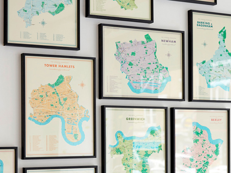
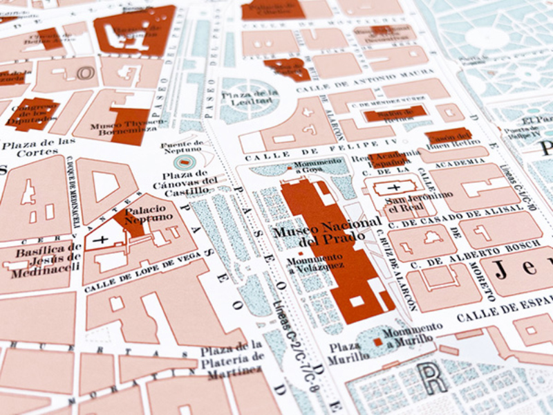
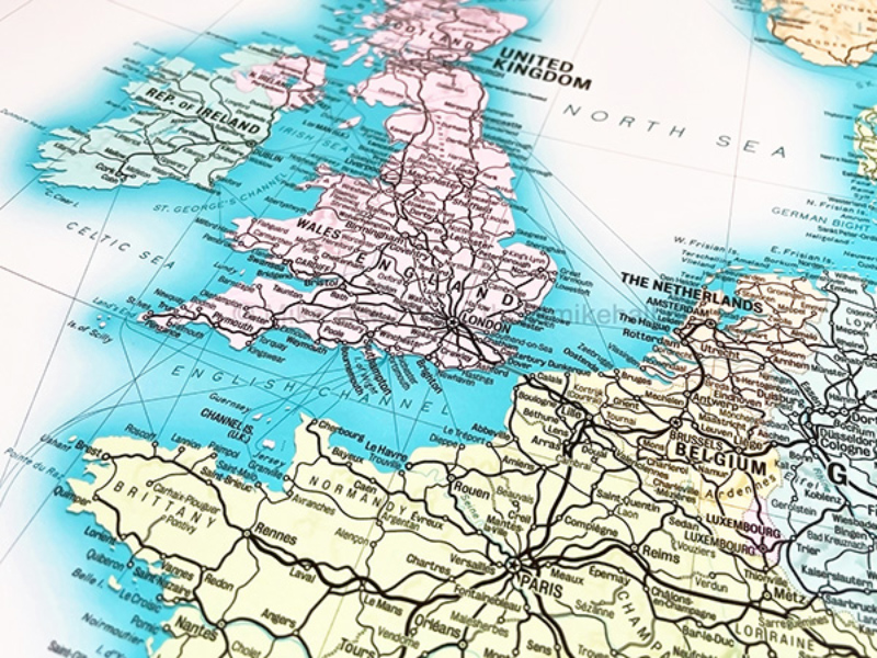
I create original map designs in a range of period styles, including vintage style maps of major cities, railway networks, London boroughs and Spanish provinces.
-
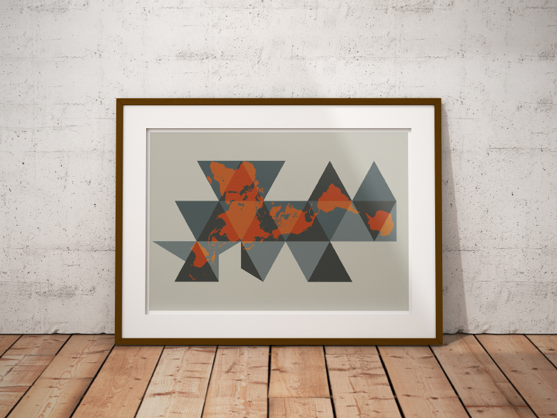
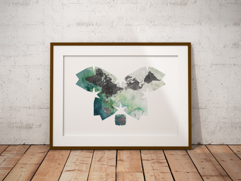
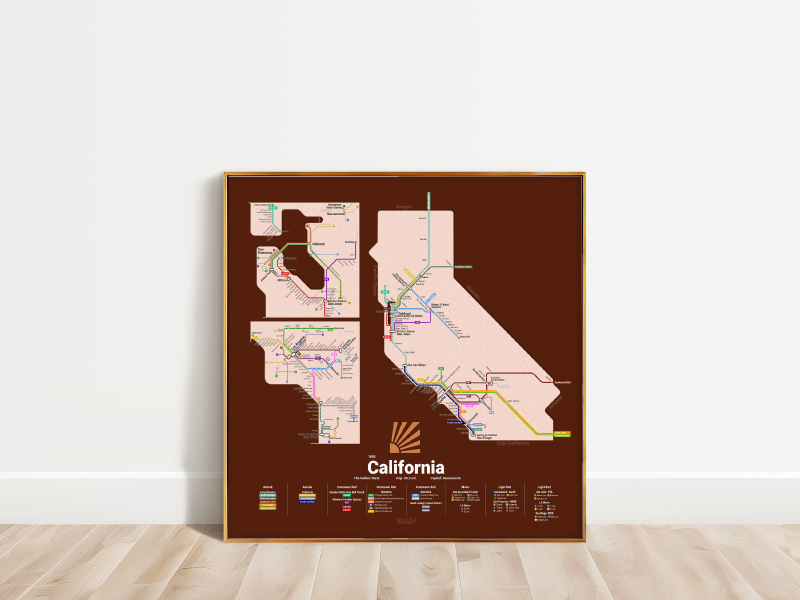
MapBliss
Custom map art including posters, stickers, and digital map assets. Subjects vary, most work is semi abstract.
-
WayfindDesigns
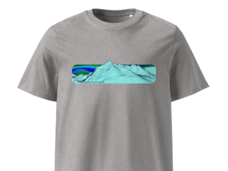
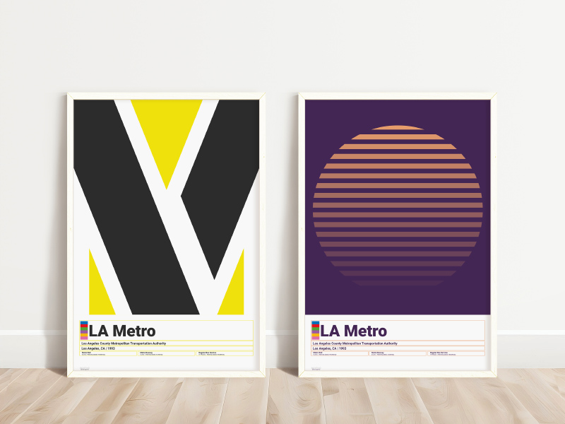
Finding the art in cartography, the style in symbols, and the drama in data. We design transit-themed wall prints, maps, and t-shirts.
-
kartografisches.at
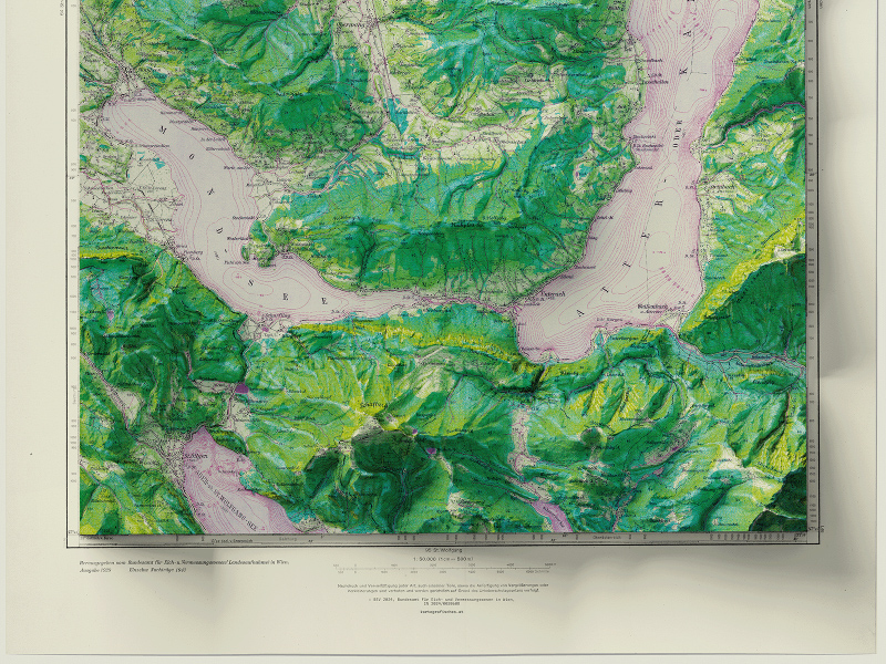
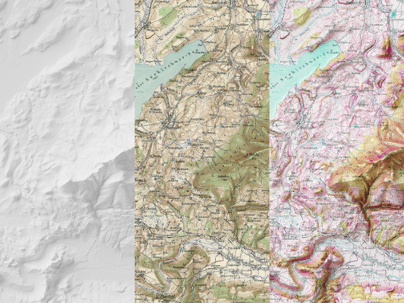
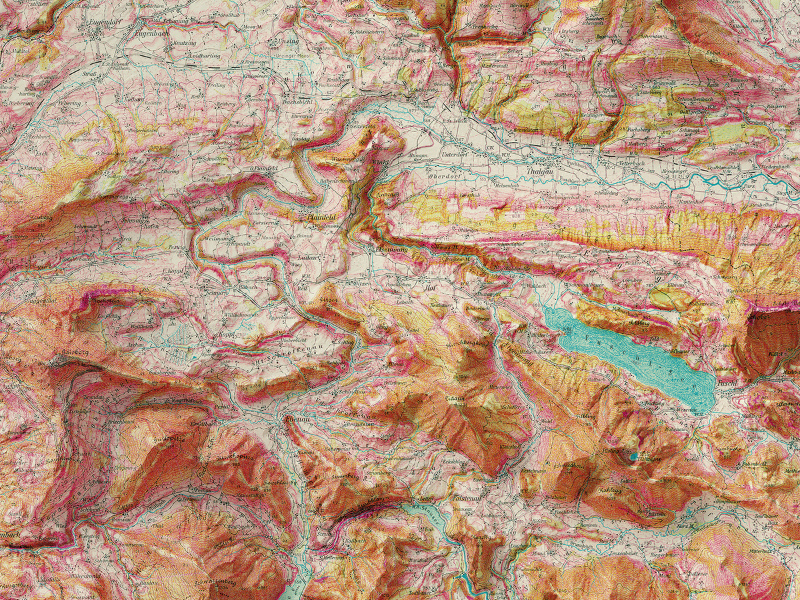
Experimental cartography - from Austrian archives, combined with contemporary open source height data. High quality art prints on fine art paper.
-
All Mapped Out
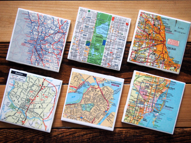
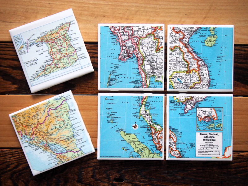
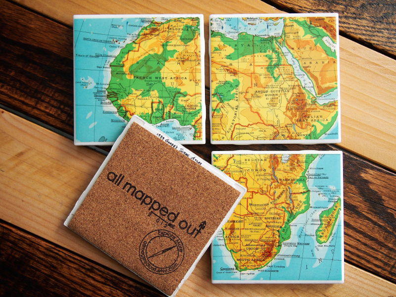
Maps repurposed into one-of-a-kind coasters and magnets featuring cities, countries, national parks, and more all over the world. Sources range from the 1890s to present day and source information is handwritten on the back of each coaster item so you know its origin.
-
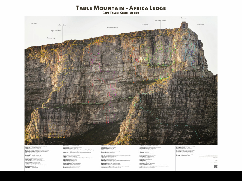
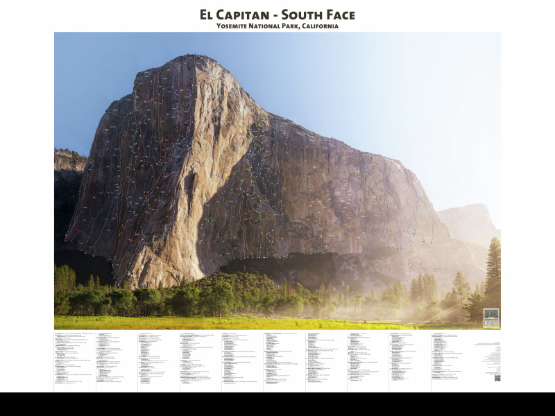
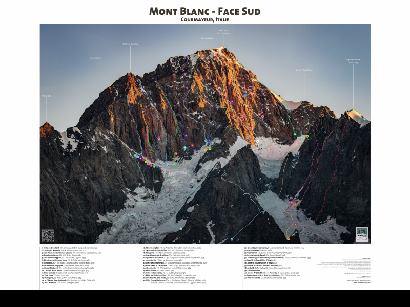
Mont Blanc Lines
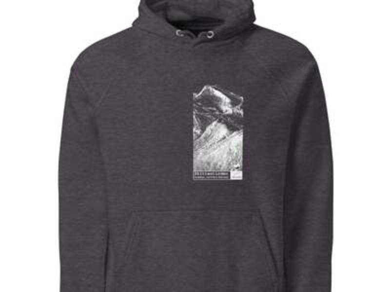
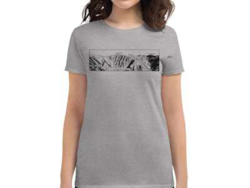
Climbing and skiing lines drawn on the most iconic peaks and cliffs in the world.
-
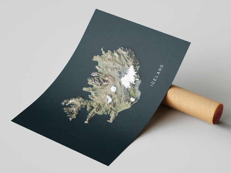
Hic Sunt Dracones Maps
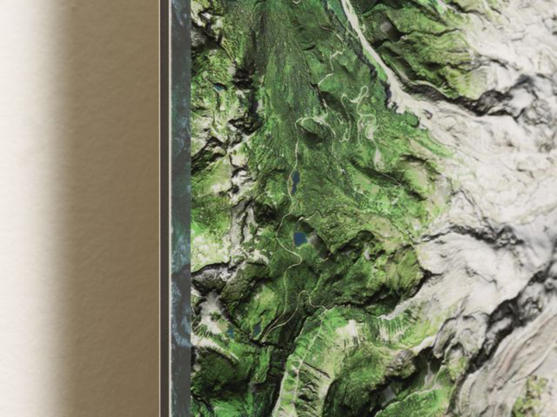
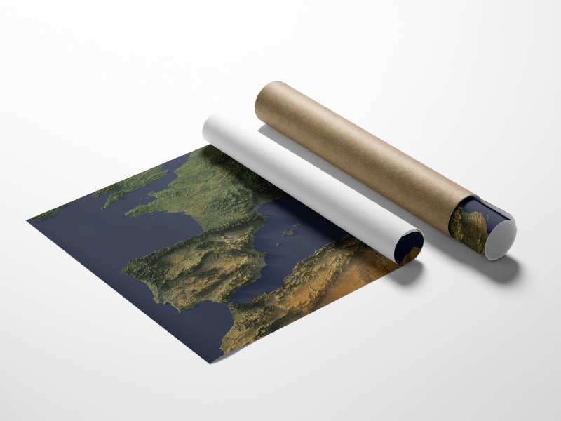
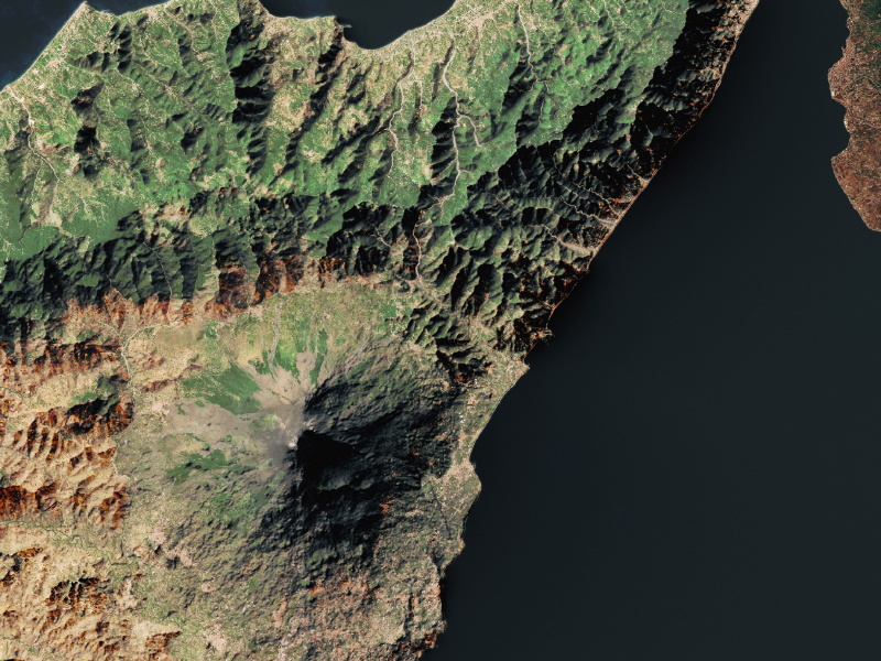
High-resolution satellite maps are created using Sentinel-2 imagery and enhanced with shaded relief maps using DEM data to get a 3D-like visual perspective of a real-world terrain. 🛰️ Where space science meets art 🗺️
-
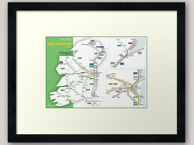
Project Mapping
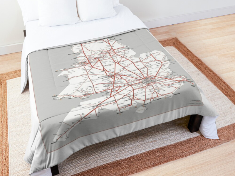
Beautiful schematic maps of transport networks on all sorts of substrates - posters, apparel, tech covers, ceramics, shower curtains, bedspreads and more…
-
Let's make a map
Let's make a map is a blog about beautiful maps and how to make them. The maps are designed as posters, but are available for download, so you can use them however you intend.
-
mapTO Map Store
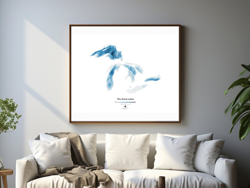
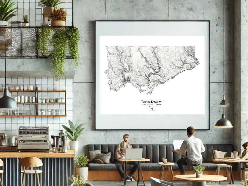
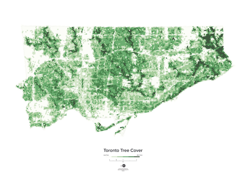
mapTO produces map prints of Toronto and Ontario across themes like natural, urban and transportation geography
-
vanmaps by vanshnookenraggen
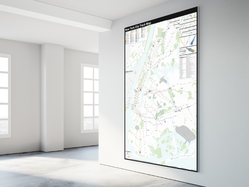
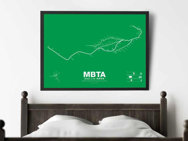
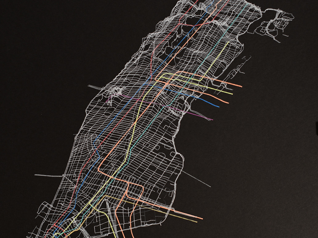
Minimalist transit maps, including large scale track maps.
-
Meander & Flow River Prints
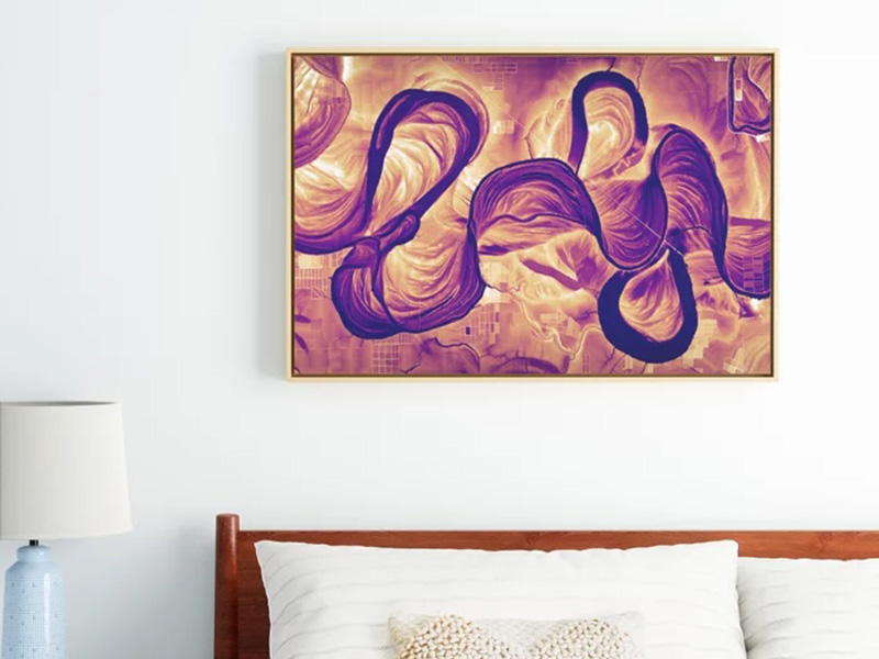
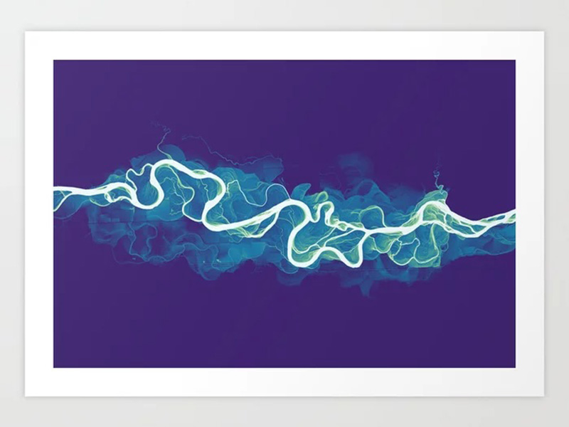
Colorful, elevation-based river images from around the world! A variety of prints and other products are available.
-
Sutherland Maps
Sutherland Maps specializes in hand-drawn and digitally illustrated maps with the goal of capturing the beauty of God’s creation through every map. We have a selection of maps that showcase cities, states, and parks throughout the USA. We also create custom maps upon request!
-
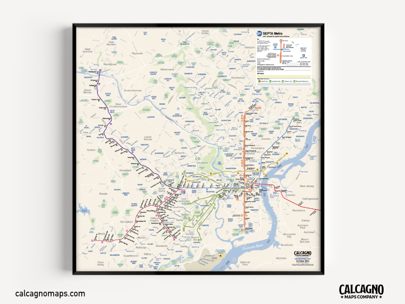
Calcagno Maps Co.
Calcagno Maps Co. specializes in creating innovative transit map recreations as well as pushing the boundaries of creativity and design.
-
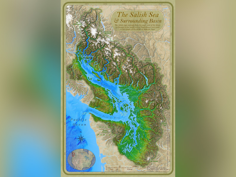
Stefan's Maps
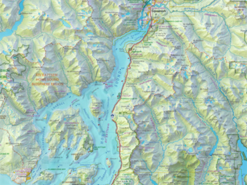
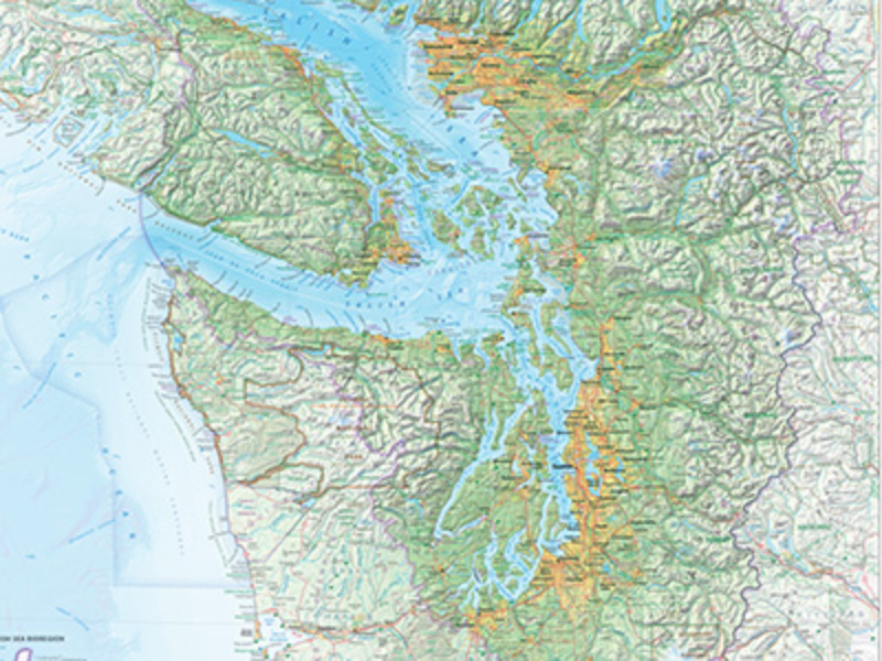
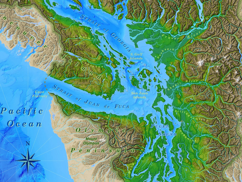
Best known for his Map of the Salish Sea (created as part of the successful campaign to have the name Salish Sea officially adopted), Stefan creates web and static maps.
-
Studio Legenda
Transit maps, crossover maps, and various infographics made by Sebas van den Brink aka Studio Legenda. And free stickers.
-
Le Plan Studio
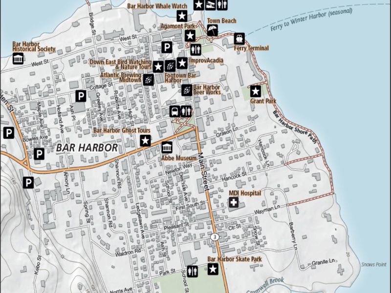
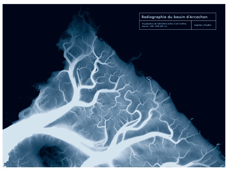
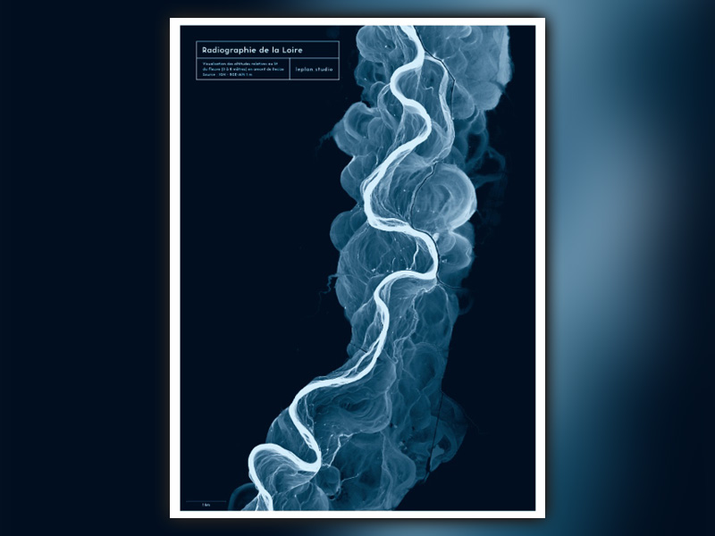
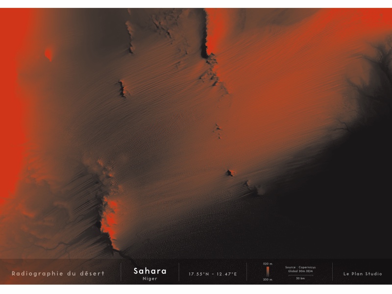
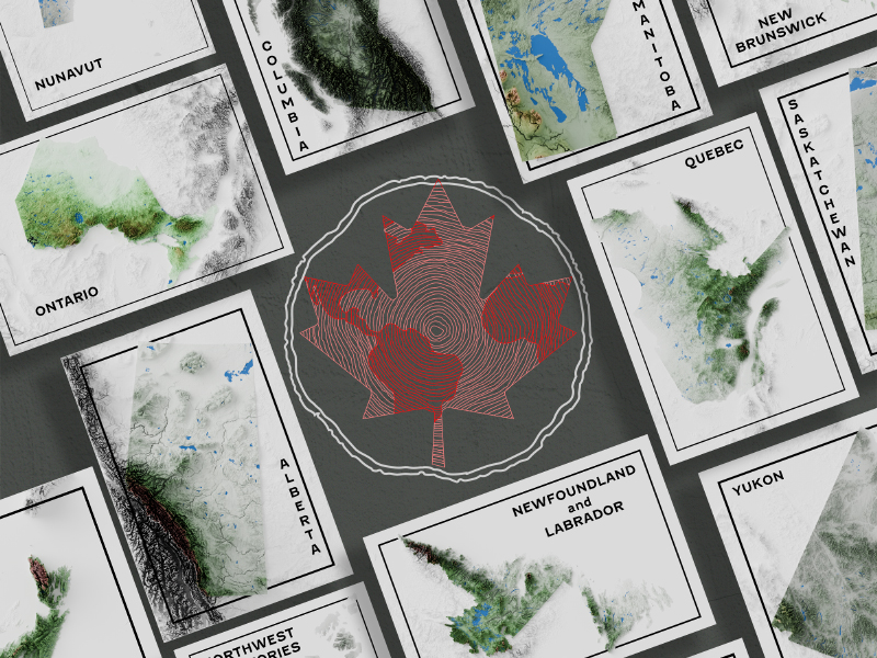
Le Plan Studio is a french "geodatajournalism" studio created by Denis Vannier, who also provide artisanal printings of deserts and rivers landscapes revealed by digital elevation models (IGN, Copernicus, USGS).
-
BOILISÉ
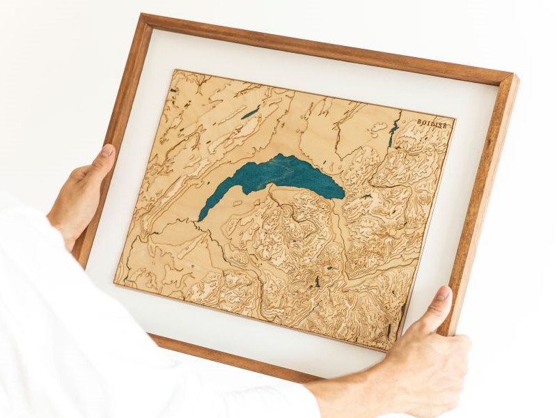
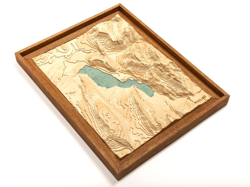
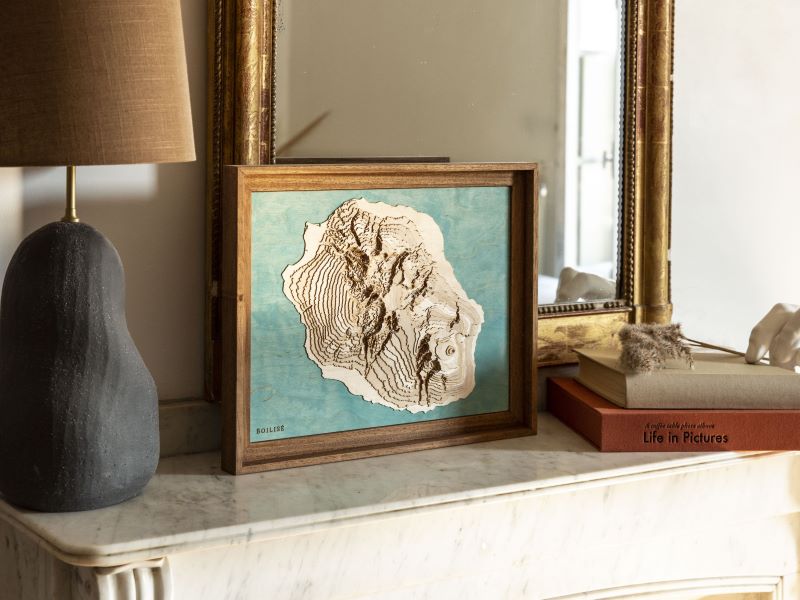
BOILISÉ creates eco-friendly wooden maps that transform contour lines into 3D art. With scaled elevations and layered plywood, the abstract style invites map lovers to share stories as they situate themselves.
-
Kumo Design Corp.
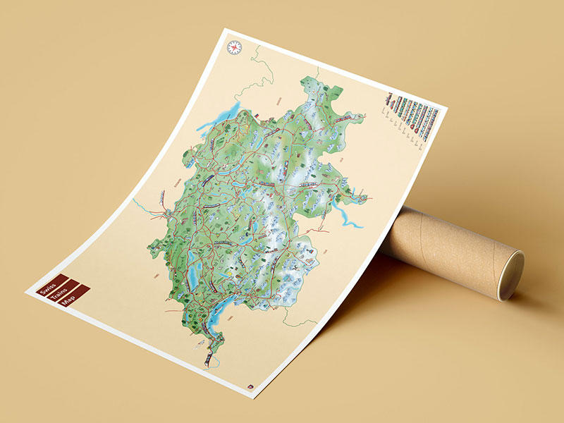
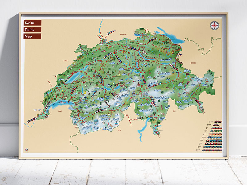
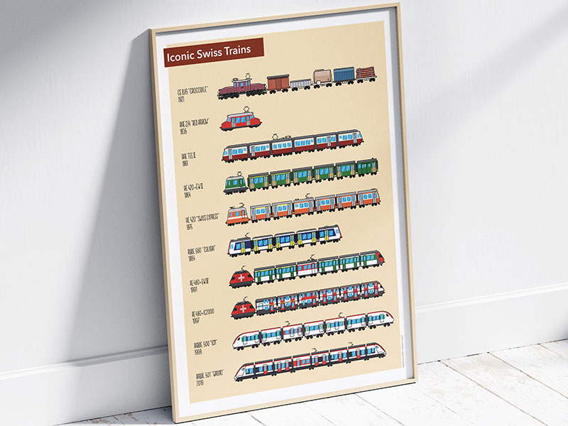
Loris Grillet is a Swiss illustrator with an obsession for trains and maps. His work celebrates railways (mostly Swiss) in a colourful and playful design full of details and delight.
-
Inlander Maps
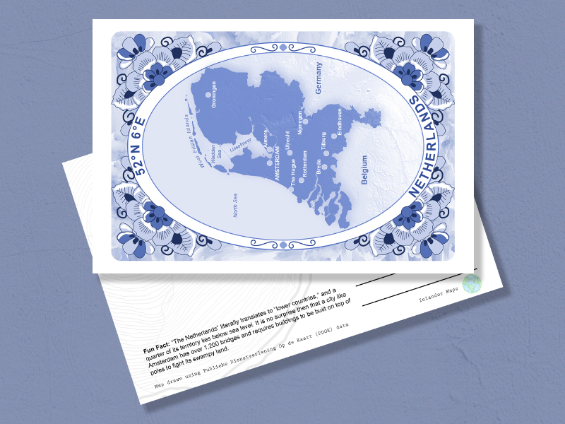
I do map postcards on almost anything I find interesting or amusing, and hope others enjoy them too.
-
Tabletop Whale maps
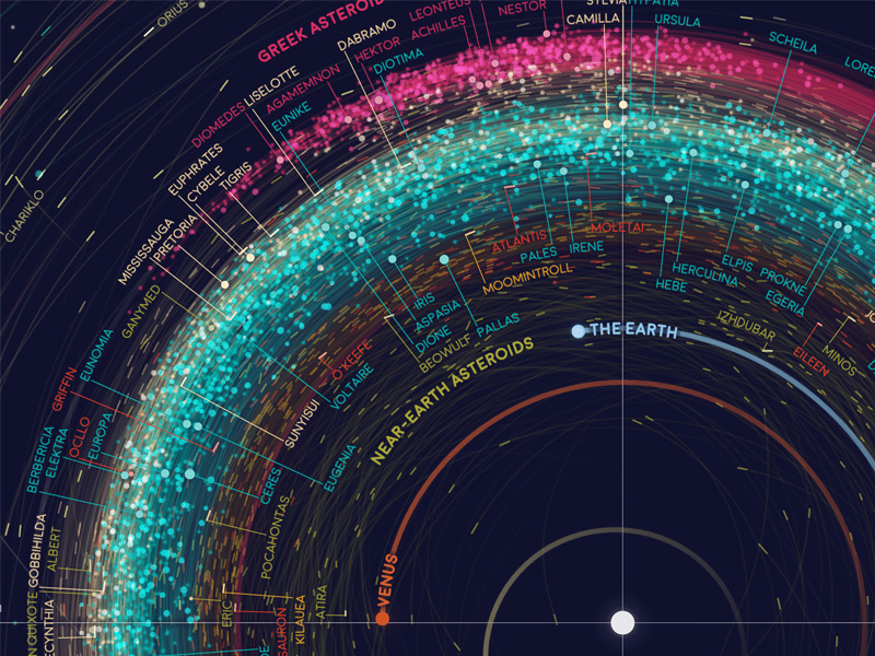
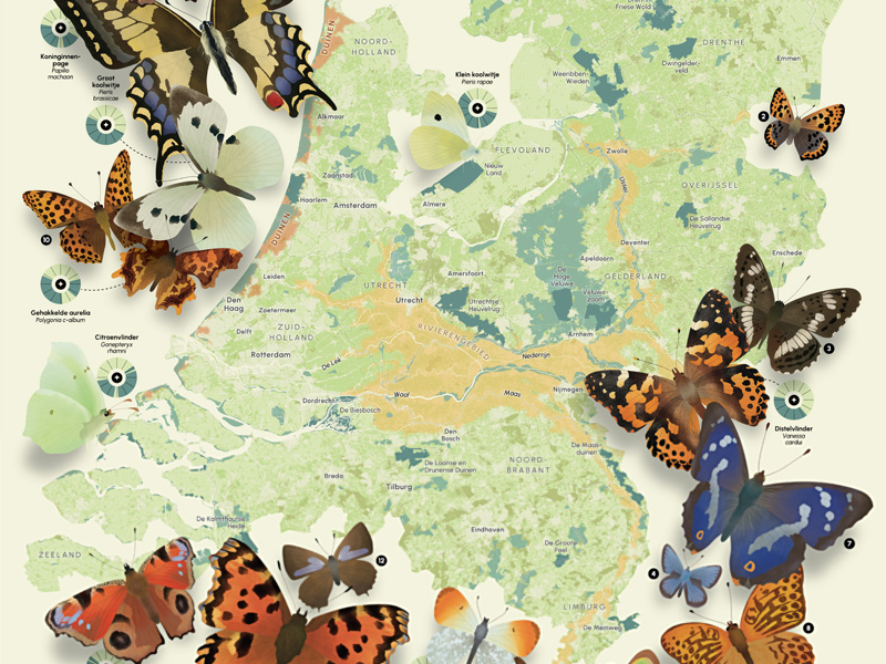
Intricate posters and art print maps over anything from asteroids to butterflies.
-
Mapelio
Founded in 2020, Mapelio brings together the artistic beauty of our natural landscapes and 21st century cartography to create artwork designed to elevate any space.
-
Steady Hand Maps
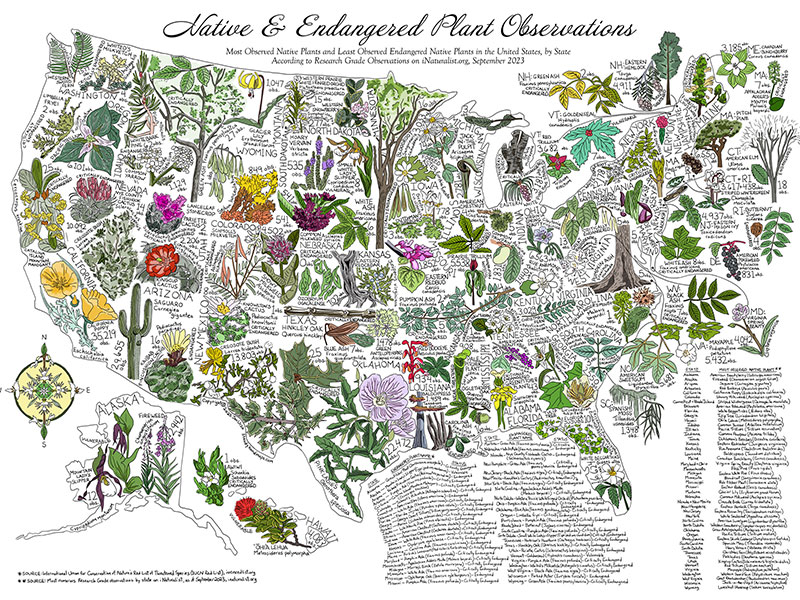
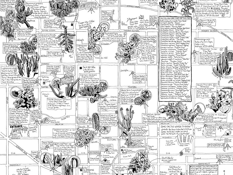
Unique, hand-drawn illustrated maps of plants (especially cacti!), coffee and the complexities of life.
-
RunWithItCreative
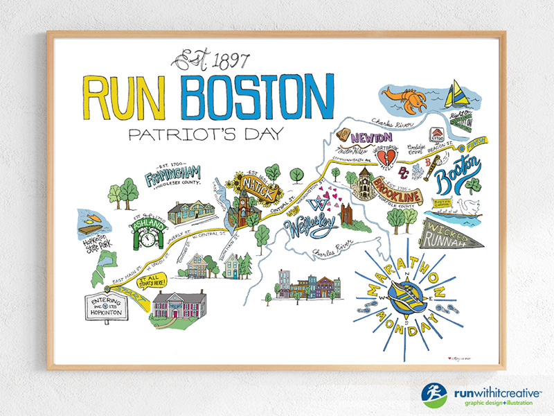
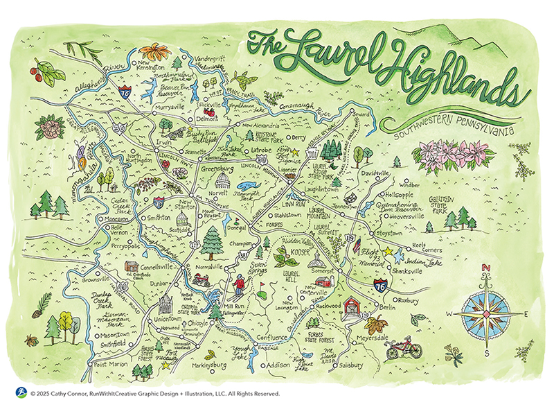
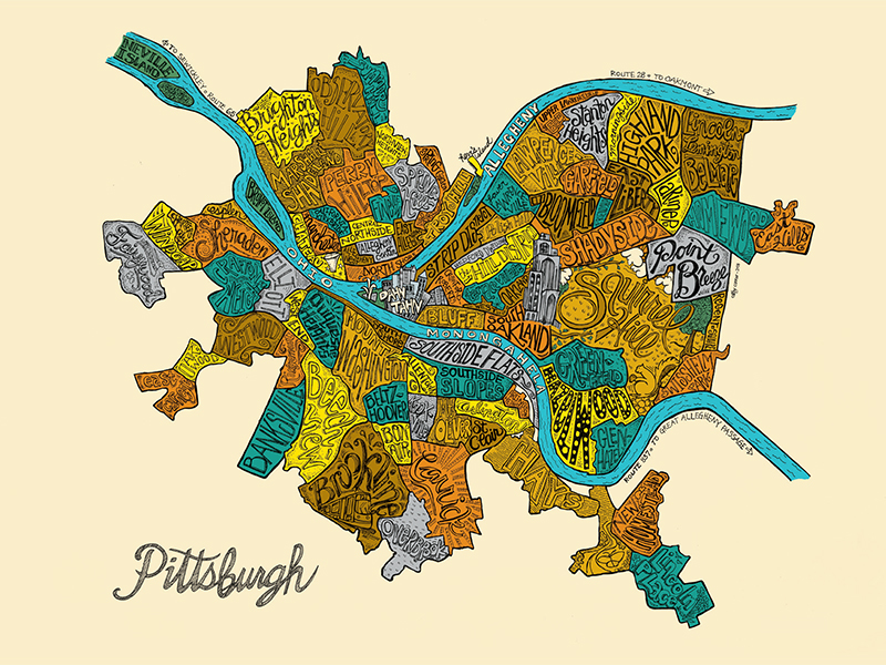
I’m a runner/artist specializing in pen & ink and watercolor, with a passion for capturing neighborhood maps, park maps and marathon routes. Each piece is thoughtfully created to celebrate the places and experiences that move us.
-
CDEdwards Mapping
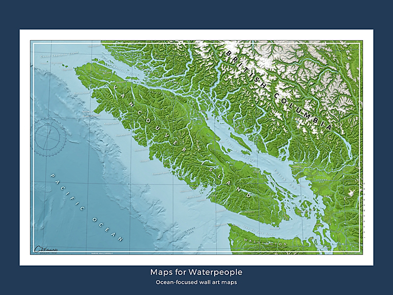
Maps for Waterpeople made by a waterperson. Ocean-focused maps that honor the grit of the working mariner and the spirit of the ocean adventurer. For people who live, work, and play on the water, and those who wish they did that more. Stay salty!
-
Maddy Grubb Maps
I'm an adventurer, artist, earth scientist, and map-maker. I make maps inspired by adventures I’ve had and places I love. My goal is to invoke memories and inspire adventure in others in a medium that feels artistic, scientific, and place based.
-
Finke
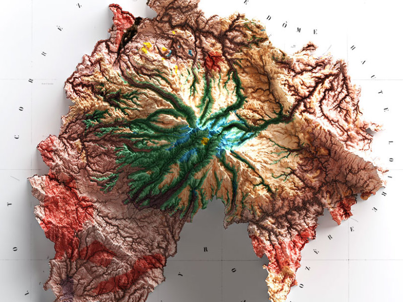
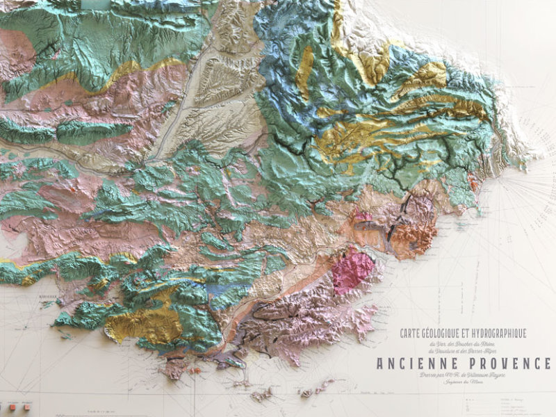
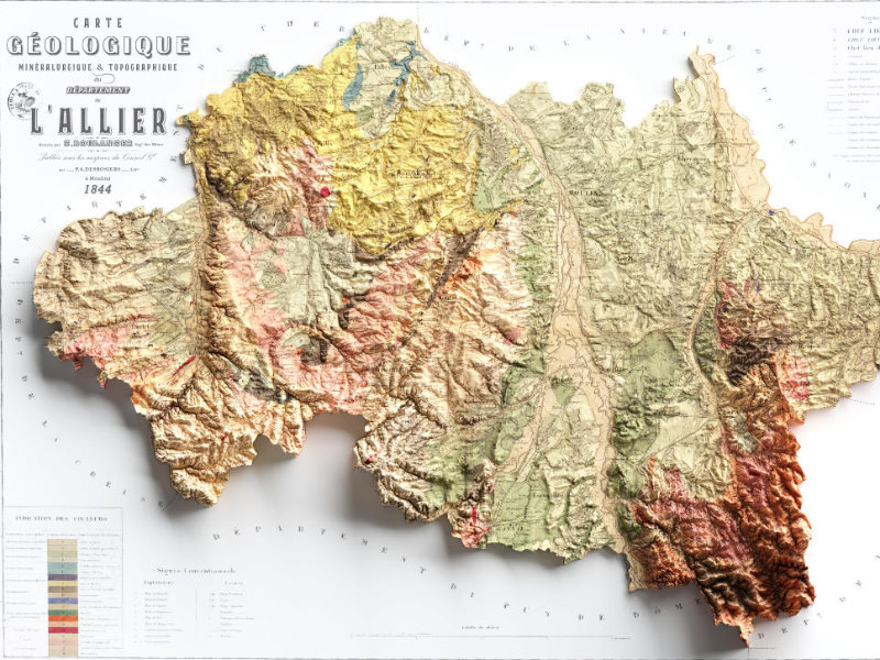
Finke is an independent store selling maps of France. The online store specializes in maps of the different regions of France, with antique maps, hydrological and geological maps, and illustrated maps of French natural parks.
-
Boundless Maps
Boundless Maps excels in automated cartography. We produce high-quality, affordable vector maps ranging from detailed topographic designs to intricate urban plans. Our maps are crafted to meet the needs of designers, architects and city planners.
-
Tim Wallace
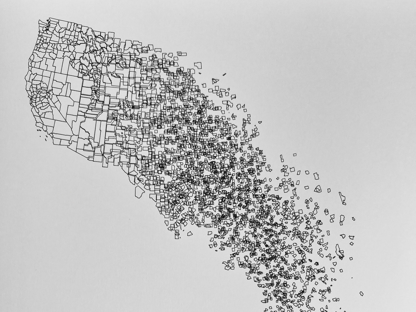
Limited run art inspired by Earth, putting a modern spin on traditional pen and ink by using code, design software, and a pen plotter. Each piece uniquely captures our planet's diverse landscapes, physical and abstract. Look out for vintage maps too.
-
Molly O'Halloran Prints
Fine art prints of selected hand-drawn and painted maps.
-
Tombolo Jewelry
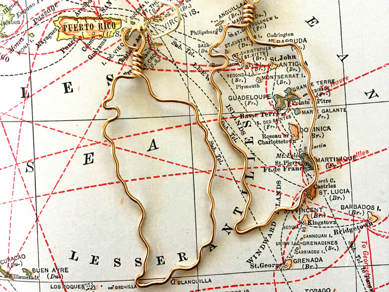
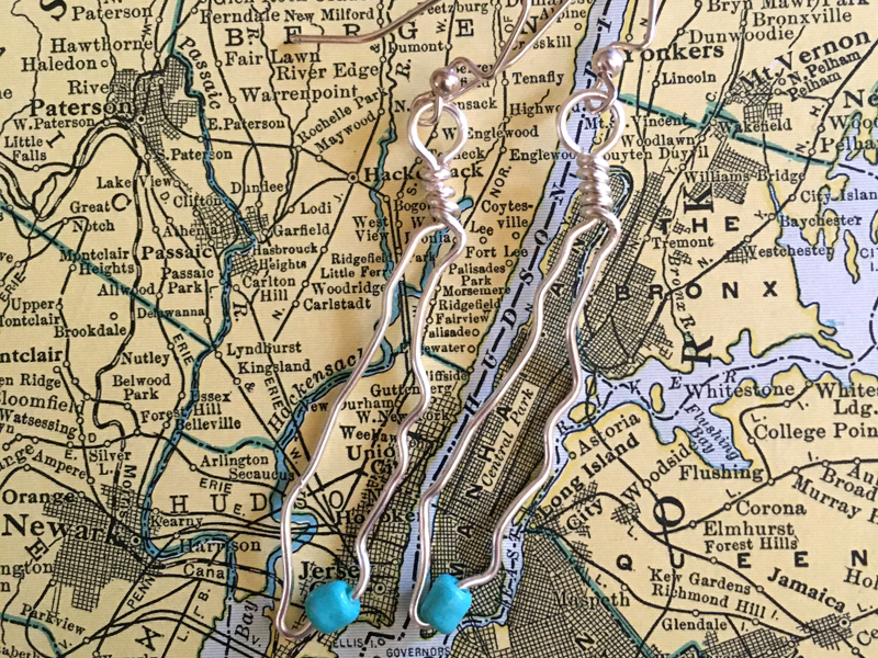
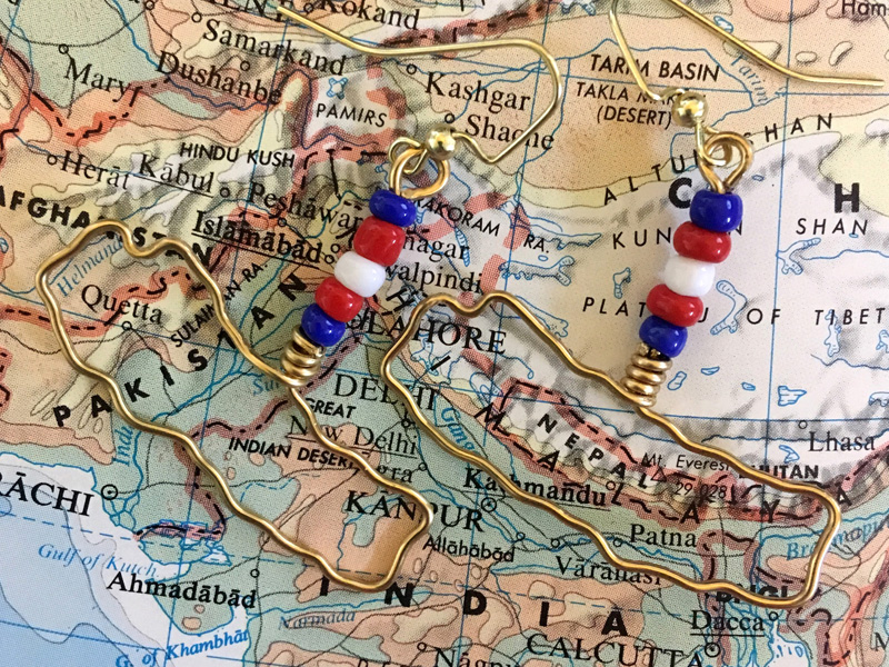
Custom, handmade, geospatially accurate—but wonderfully, uniquely imperfect—jewelry of anywhere in the world. Each piece is created upon request to your specifications!
-
Four Corners Mapping
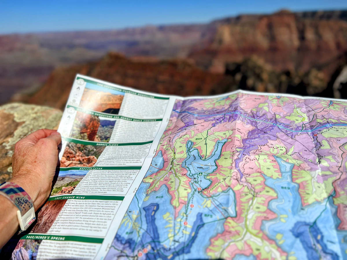
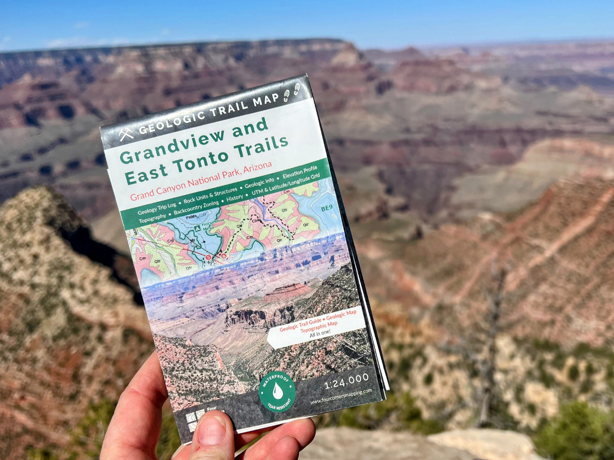
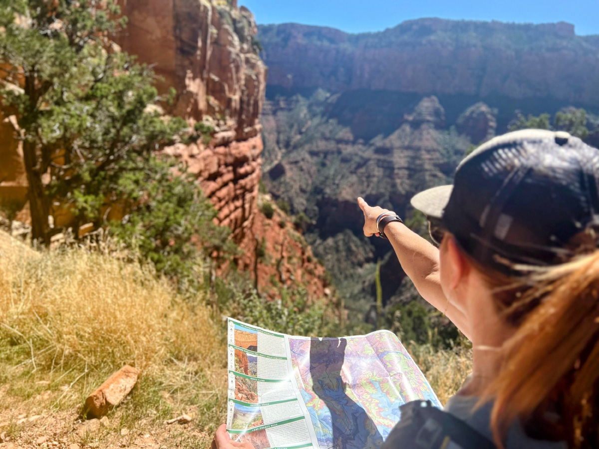
The Geologic Trail Maps of the Grand Canyon combine the best of two worlds: geology and hiking! Part geologic guidebook, part topographic trail map, they provide a succinct geologic summary in a lightweight, waterproof, and tear resistant map.
-
Sterling Cartographic
Maps are beautiful, inspiring, and sometimes, chaotic. As is life. We capture that artistic potential for your indoor spaces. It’s a thriving obsession dedicated to celebrating life’s twists, turns, and special places in a unique way.
-
Grasshopper Geography
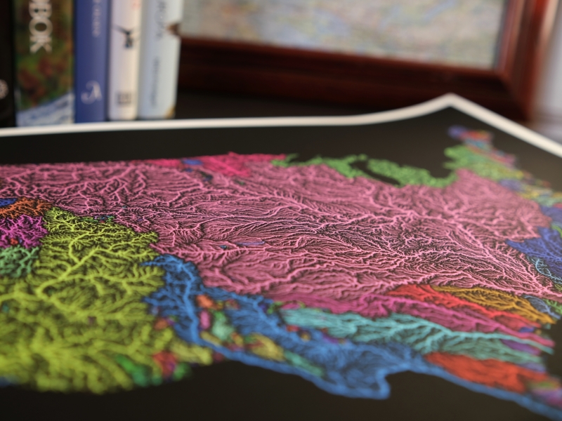
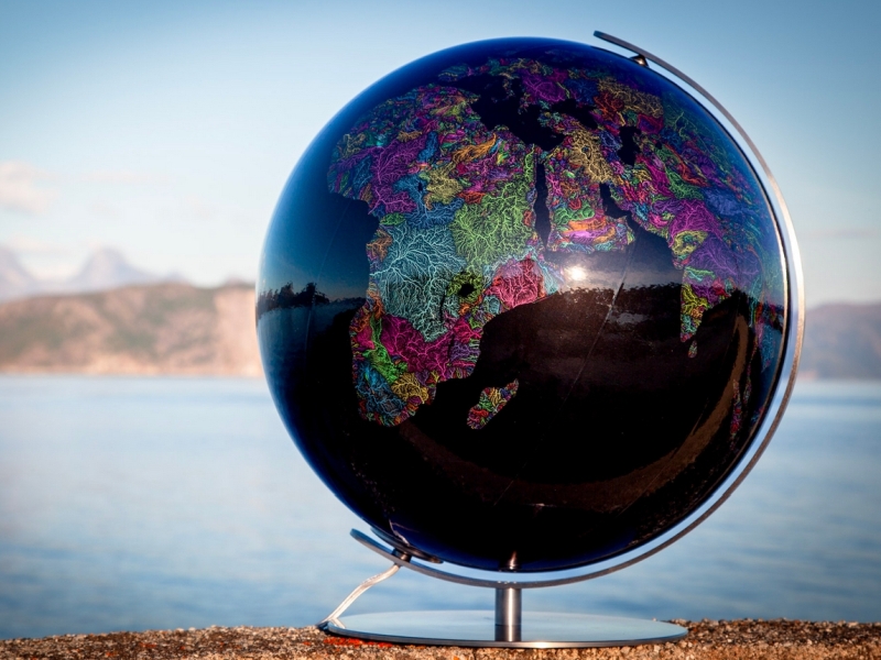
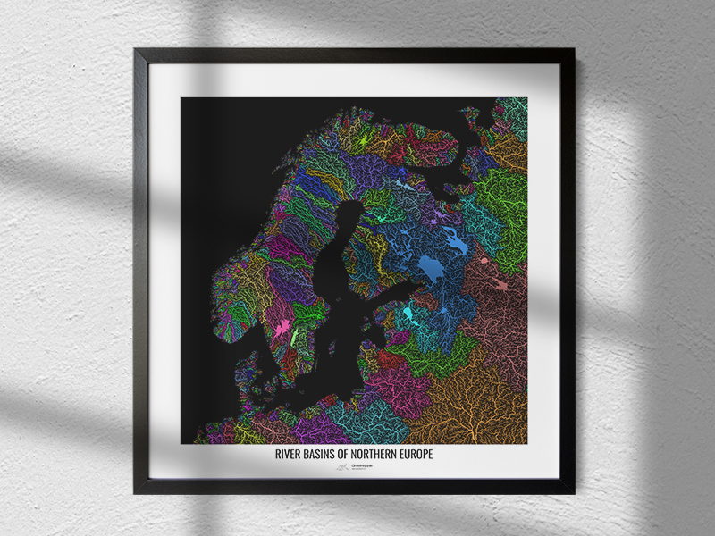
The colourful river basin maps everyone knows and loves. A passion project started in 2016, now a family business with thousands of maps sold as prints and wall art. Globes made in collaboration with Columbus, and other exciting adventures.
